These maps can be purchased in the ICGC´s User Support Center and also in the e-shop.
Miniature | Product | Edition | Edition date | Price
(VAT not included) |
|---|
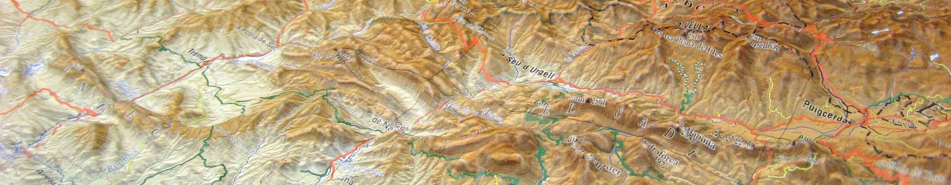
| Topographic map of Catalonia 1:250 000, raised relief map Size: 125 x 120 cm Buy the map | 7 | January 2023 | 96.15 € |
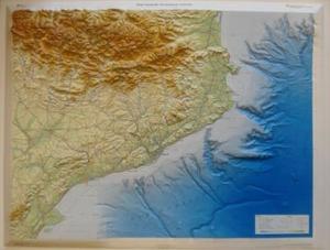
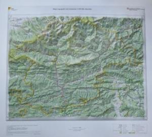
| Topographic map of Catalonia 1:450 000, raised relief map Size: 90 x 68 cm The Topographic map of Catalonia 1:450 000 (relief map) presents the novelty of being the first map produced by the ICGC in which the relief is represented continuously: land-sea, land relief and undersea feature, which allows you to view, compare and touch the landforms and heights in both areas. The altitude scale is 1:150 000. Buy the map | 2 | 2010 | 57.69 € |
|
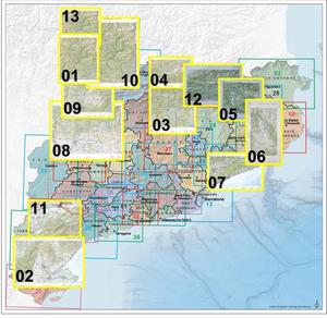
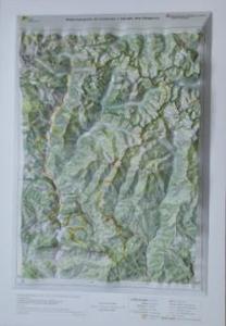
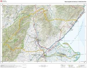
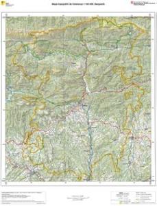
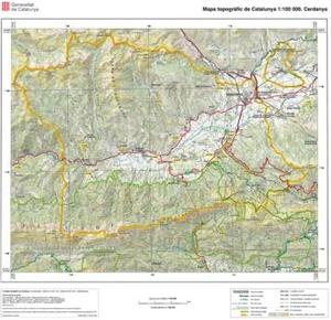
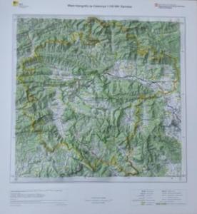
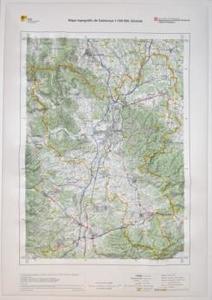
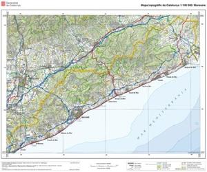
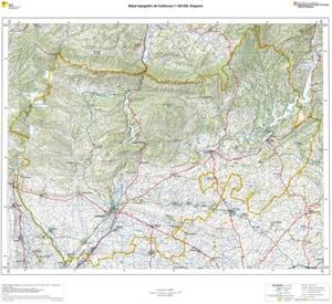
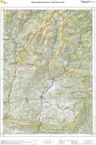
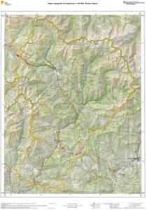
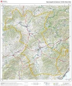
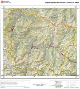
| Series Topographic map of Catalonia 1:100 000, raised relief maps The purpose of the Topographic map of Catalonia 1:100 000 (relief map) is to express the geographical image of a county as closely as possible to reality, showing the real layout of the planimetric elements on the relief. Its altimetrical scale is 1:33 000.
Available counties: |
| 01. Alta Ribagorça Size: 56 x 43 cm Buy the map | 1 | 2009 | 19.23 € |
| 02. Baix Ebre Size: 52 x 68 cm Buy the map | 1 | 2009 | 19.23 € |
| 03. Berguedà Size: 60 x 51 cm Buy the map | 1 | 2009 | 19.23 € |
| 04. Cerdanya Size: 41 x 47 cm Buy the map | 1 | 2008 | 19.23 € |
| 05. Garrotxa Size: 50 x 47 cm Buy the map | 1 | 2010 | 19.23 € |
| 06. Gironès Size: 61 x 43 cm Buy the map | 1 | 2009 | 19.23 € |
| 07. Maresme Size: 44 x 54 cm Buy the map | 1 | 2007 | 19.23 € |
| 08. Noguera Size: 63 x 72 cm Buy the map | 1 | 2009 | 19.23 € |
| 09. Pallars Jussà Size: 78 x 56 cm Buy the map | 1 | 2009 | 19.23 € |
| 10. Pallars Sobirà Size: 72 x 55 cm Buy the map | 1 | 2009 | 19.23 € |
| 11. Ribera d’Ebre Size: 62 x 55 cm Buy the map | 1 | 2008 | 19.23 € |
| 12. Ripollès Size: 60 x 55 cm Buy the map | 1 | 2009 | 19.23 € |
| 13. Val d’Aran Size: 43 x 43 cm Buy the map | 1 | 2008 | 19.23 € |

 Contact