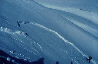
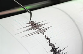
View and download of 3D data generated in the field of geological resources
The ICGC Geoindex - 3D Geological Resources Viewer allows the consultation and download of 3D data generated by the ICGC in the field of geological resources.
This viewer has been developed by GiGa infosystems GmbH and it is supported by GST service (Geosciences in Space and Time). It is recommended to use a web browser capable of displaying WebGL contents such as Firefox, Chrome, Edge, Brave, Opera or Safari.
The information contained in the viewer can be viewed easily and quickly in two environments that are activated and deactivated through the top menu of the application:
- Interface 3D, the information is displayed in three dimensions. The user can select the orientation of the view, change the vertical scale and the rendering color of each layer, generate sections, query the model and download the data.
- Interface 2D, the extent of each layer is displayed in a plan view and it is possible to generate vertical (or inclined) boreholes and sections at any location within the model domain.
Â
Currently, May 2023, the Geological Resources 3D Viewer contains the following models:
- 3D aquifer model of the urban area of Girona and Salt and surrounding municipalities (v1.0, May 2022), developed within the framework of the GeoERA MUSE project.
Geothermal 3D model of the Empordà basin, developed within the framework of the GeoERA HotLime project (Mapping and Assessment of Geothermal Plays in Deep Carbonate Rocks – Cross-domain Implications and Impacts, 2018-2021). More specifically, this model contains the lithological units, the main geological structures, the geothermal model with the 3D distribution of the temperature and the geothermal potential of the Girona limestone aquifer, the location of the exploration drillings and the topographic surface of the area.
- 3D geothermal model of the Empordà basin (v1.0, July 2022), developed within the framework of the GeoERA HotLIME project.
Modelo 3D geotermal de la Fossa de l’Empordà , desenvolupado en el marco del proyecto GeoERA HotLime (Mapping and Assessment of Geothermal Plays in Deep Carbonate Rocks – Cross-domain Implications and Impacts, 2018-2021). Más concretamente, este modelo contiene las unidades litológicas, las estructuras geológicas principales, el modelo geotermal con la distribución en 3D de la temperatura y del potencial geotérmico del acuÃfero de calcáreas de Girona, la ubicación de las perforaciones de exploración y la superficie topográfica del ámbito del proyecto.
- Model of 3D geological surfaces of Catalonia (v1.0, Abril 2023), developed within the framework of the 3D Catalonia project.
3D model of geological surfaces that contains the main stratigraphic horizons and geological structures of Catalonia, the location of the main exploration drillings and the topographic and bathymetric surfaces of the modeled area.
- 3D geothermal model of the Fossa del Camp (v1.0, July 2023): This model is part of the modeling project of the geothermal potential of the Fossa del Camp area developed as part of the Project global Deep Geothermal (GeoEnergia-GP) of the ICGC. The geological modeling has been carried out with the support of a geophysical data inversion process and includes the lithological units and the main geological structures along with the location of the Reus-1 exploration well and the topographic surface of the scope of the project. Geothermal modeling includes the calculated 3D distribution of temperature and energy contained in the form of heat according to the USGS "Heat-in-Place (HIP)" volumetric method (Muffler and Cataldi, 1978) using the 3DHIP-Calculator tool (Piris et al., 2020) of several Mesozoic aquifers. The results have made it possible to evaluate the theoretical potential of the main geological formations.
ICGC Geoindex - 3D Viewer of geological resources (GeoERA MUSE project)
Technical specifications of the Girona 3D Aquifer Model v1.0 (12.05.2023) (PDF, Catalan)Metadata of the 3D Model of Girona aquifers
ICGC Geoindex - 3D viewer of geological resources (GeoERA HOTLIME Project)
Technical specifications of the Geothermal 3D Model of the Empordà Trench v1.0 (12.05.2023) (PDF, Catalan)Metadata of the geothermal 3D model of the Empordà basin (catalan)
3D geological surface model of Catalonia
Technical specifications of the 3D Model of geological surfaces v1.0 (12.05.2023) (PDF, Catalan)Metadata of the 3D model of geological surfaces (Catalan)
3D geothermal model of the Fossa del Camp
Specifications of the Geothermal 3D Model of the Fossa del Camp v1.0 (18.07.2923) (PDF, Catalan)Metadata of the geothermal 3D model of the Fossa del Camp (Catalan)