Contact


Databases and catalogues
Databases of avalanches, landslides, holotypes, shallow geothermal energy installations, catalogues of soils and of the library
Open ICGC plugin
Toolbar plugin QGIS “Open ICGC” that allows direct and quick access to the geoinformation of the ICGC
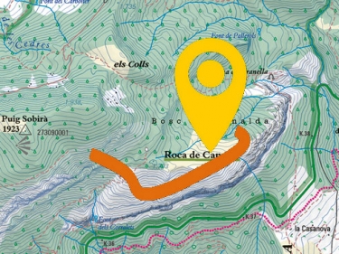
Building / dynamic shadow (prototype)
Choose your area of interest and generate dynamic shading to the buildings by selecting the day and time
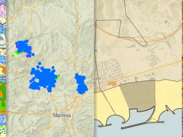
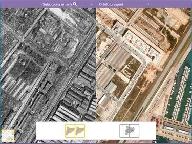
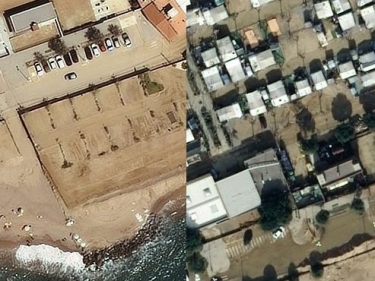
Coast evolution
Monitoring of changes and damages caused on the coast after maritime temporary episodes
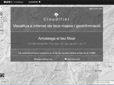
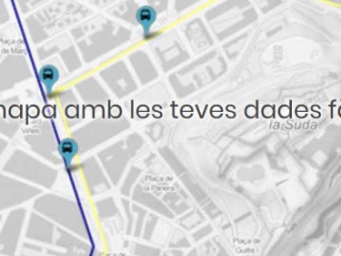
Instamaps, make your map
Explore the geoinformation about Catalonia and the world by creating your own map
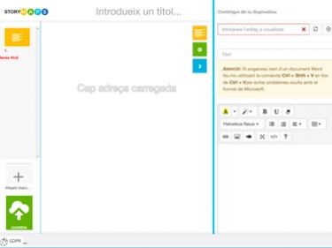
StoryMaps
Create interactive visualizations with maps, text, and multimedia content to tell narrative stories
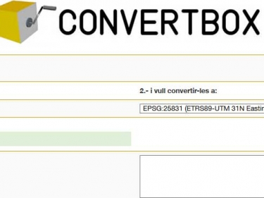
Transform coordinates/formats
Convertbox and geodetic calculator, guides for the transformation of coordinates (ED50 to ETRS89...) with different software, geoid models...
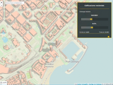
Geoíndex viewers
View the geological, pedological and, in general, the geothematic and geological hazard information