Contact

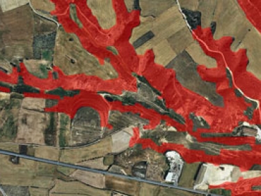
Informació d'elevacions, orientació, ombres i pendents per a ser utilitzada en les vostres aplicacions, mitjançant geoserveis WCS o WMS


Informació d'elevacions, orientació, ombres i pendents per a ser utilitzada en les vostres aplicacions, mitjançant geoserveis WCS o WMS
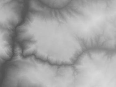
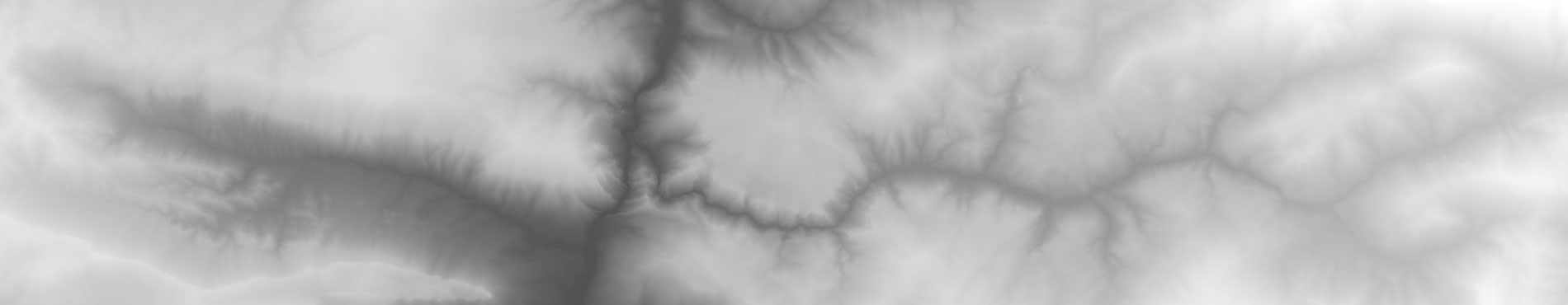
WCS for the 15x15 m and 5x5 m Digital terrain model of Catalonia that it provides the heights of the requested points