Contact


If you are a developer you can use our vector cartography in your apps and websites
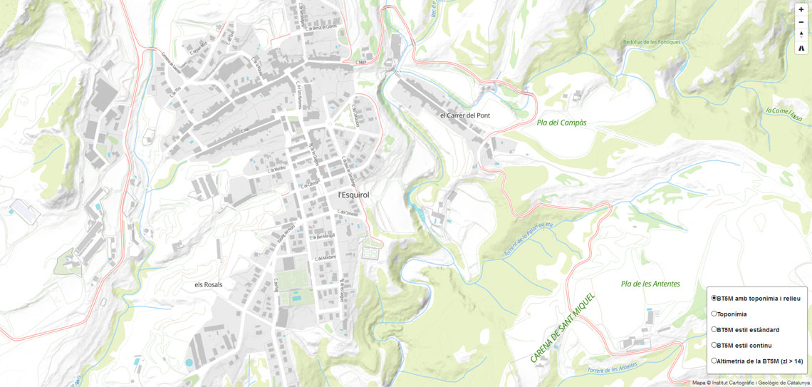
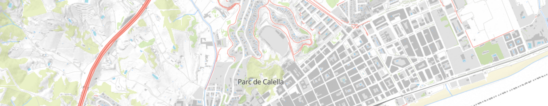
On this page we will gather, on the one hand, the sources of data (sources) that we have generated in MBTiles vector format of different official data sets and, on the other hand, the styles that allow us to visualize this data with different types of selectable symbolizations.
The combination of vector data and styles allows to have light maps to consume in online applications in a simple way, and the download of these MBTiles and the corresponding style also allows having these same maps in offline applications.
To make maps easily, we have prepared a sample file o save as HTML, where you can paste, on line 27, any of these styles to see the data with the appearance that we have created.