• Imprimeix

Education and training

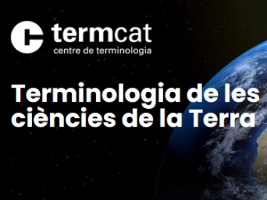
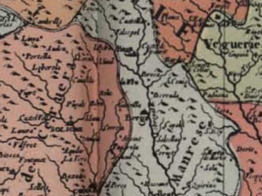
Terminologia de les ciències de la Terra

20.000 fitxes terminològiques relacionades amb les ciències de la Terra i àmbits afins que el TERMCAT posa a disposició pública

Màster universitari en Geoinformació

Des de 2015 l’organitzen conjuntament la UAB i l’ICGC

Atlases

Collection of maps, pictures and related information

Betaportal - Prototypes

Innovative prototypes of geoinformation products and services

Soil cartography

Map of soils 1:25.000

Geological cartography

Geological maps at different scales, 3D geologic model ...

Old maps and pictures

See how Catalonia was years ago and consult maps from the Map Library

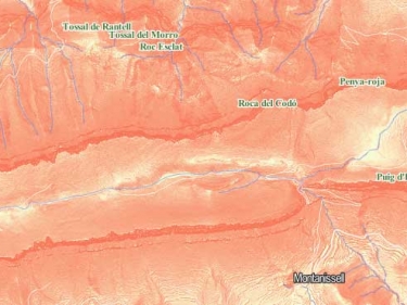
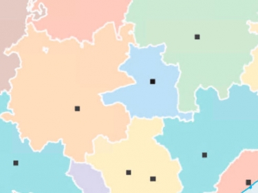
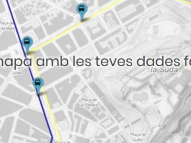
Instamaps, make your map

Explore the geoinformation about Catalonia and the world by creating your own map

Conventional orthophoto

Continuous mosaic of aerial photos, with high quality and accuracy

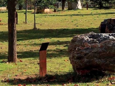
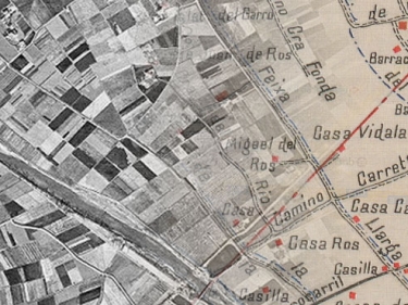
Pirineus Geological Open Museum (PGOM)

Permanent geology exhibition located in the urban center of Tremp