Contact

Use the ICGC's maps, orthophotos and other geoinformation on your web applications


Use the ICGC's maps, orthophotos and other geoinformation on your web applications
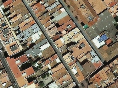
WMS service that includes all the current ICGC maps and orthophotos organized by layers
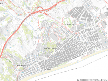
WMS and WMTS service of a cartographic map pyramid in gray tones and orthophoto generated in various resolutions according to the visualization scale
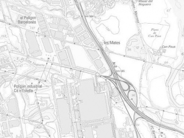
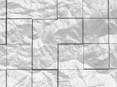
WMS and WMTS service of a cartographic pyramid of shading (layers type: clear, dark and very dark) with a maximum viewing scale of 1: 25,000
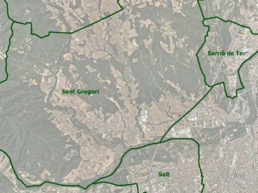
If you are a developer you can use our vector cartography in your apps and websites